Important: Ngari Prefecture (མངའ་རིས་ས་ཁུལ། / 阿里地区) is a high-altitude region. Conditions can change rapidly, and reduced oxygen availability may pose health risks for some people. Those with pre-existing medical conditions, particularly heart or lung conditions, high blood pressure, or a history of altitude-related illness, should consult a medical professional before travelling. Certain details mentioned in this post may be subject to change or may vary depending on circumstances and current conditions. Latest details should be confirmed before departure.Visual story: This story is also told through photographs. [Explore the series]# I. Lhasa to Darchen
The closest town to Mt. Kailash is Darchen (དར་ཆེན / 塔钦), Baga (བྷ་ག / 巴嘎), Purang (སྤུ་ཧྲེང / 普兰). And there're two common ways to travel from Lhasa to Darchen: by car or by bus.
For the car option, you can either drive yourself or hire a driver. Since most, if not all, hired drivers on this route — usually driving 7- or 9-seat vehicles — tend to drive the roughly 1,200 km journey on their own (around 17 hours), and I don't have a driver's license. So I decided to go with the bus instead.
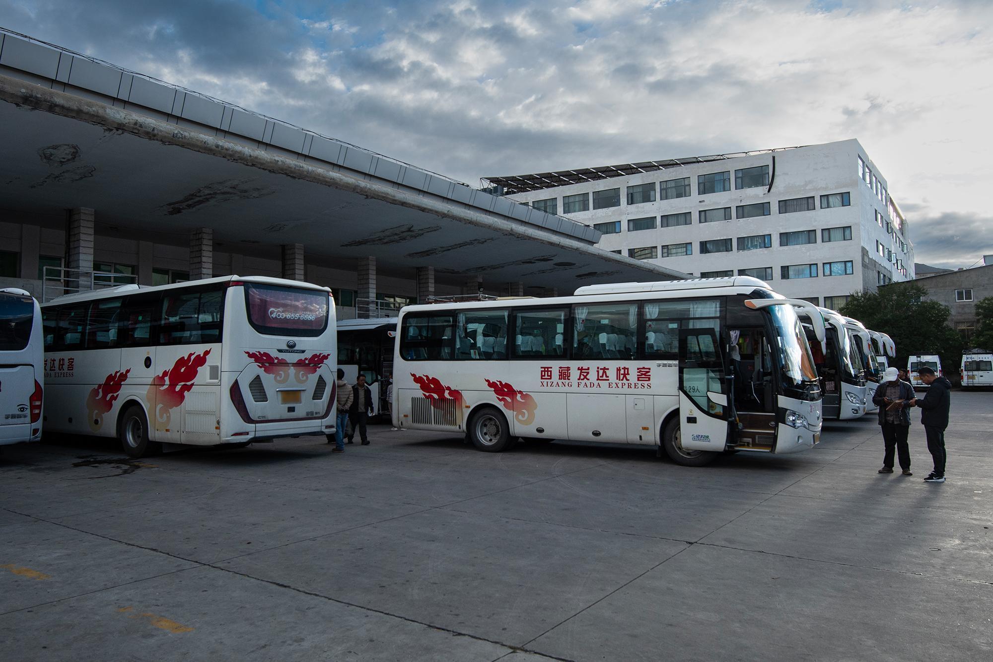

The bus set off from Lhasa Beijiao Passenger Station (拉萨北郊客运站). There are basically two departure times from there to Darchen: 08:00 and 09:00. I went with the 09:00 one. The bus ride takes almost exactly 24 hours. There are two drivers who take shifts along the way, so the bus can keep moving for most of the journey.
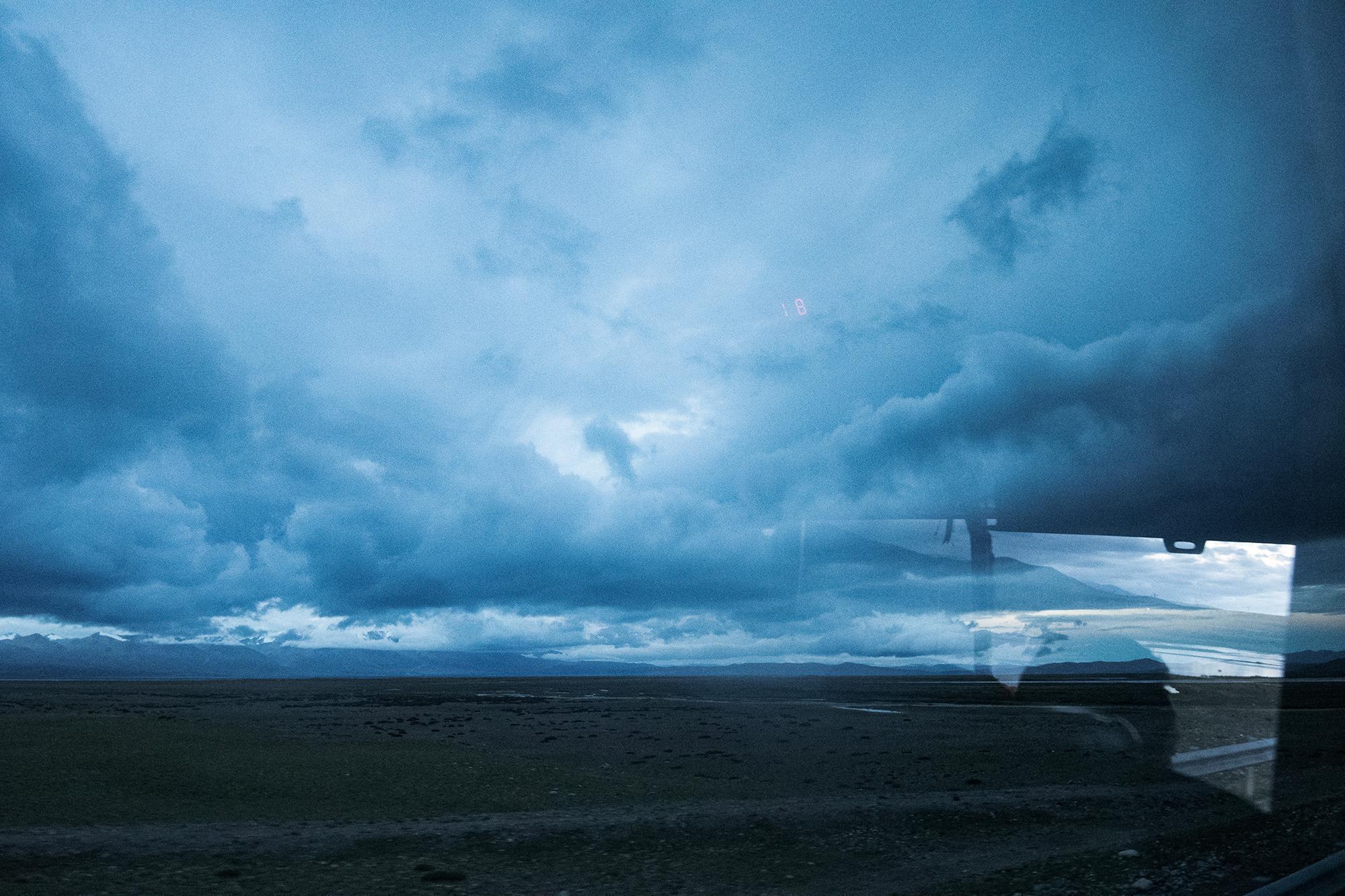
After hours of driving, the sun was beginning to dim as the bus passed through yet another mountain pass. It was already around 20:30 local time. But since all of China uses a single time zone, UTC+8 A time zone 8 hours ahead of Coordinated Universal Time (UTC). It is used in several parts of Asia and Australia, as well as a number of Pacific islands. , and Tibet lies relatively far to the west, both sunrise and sunset come noticeably "later" here.
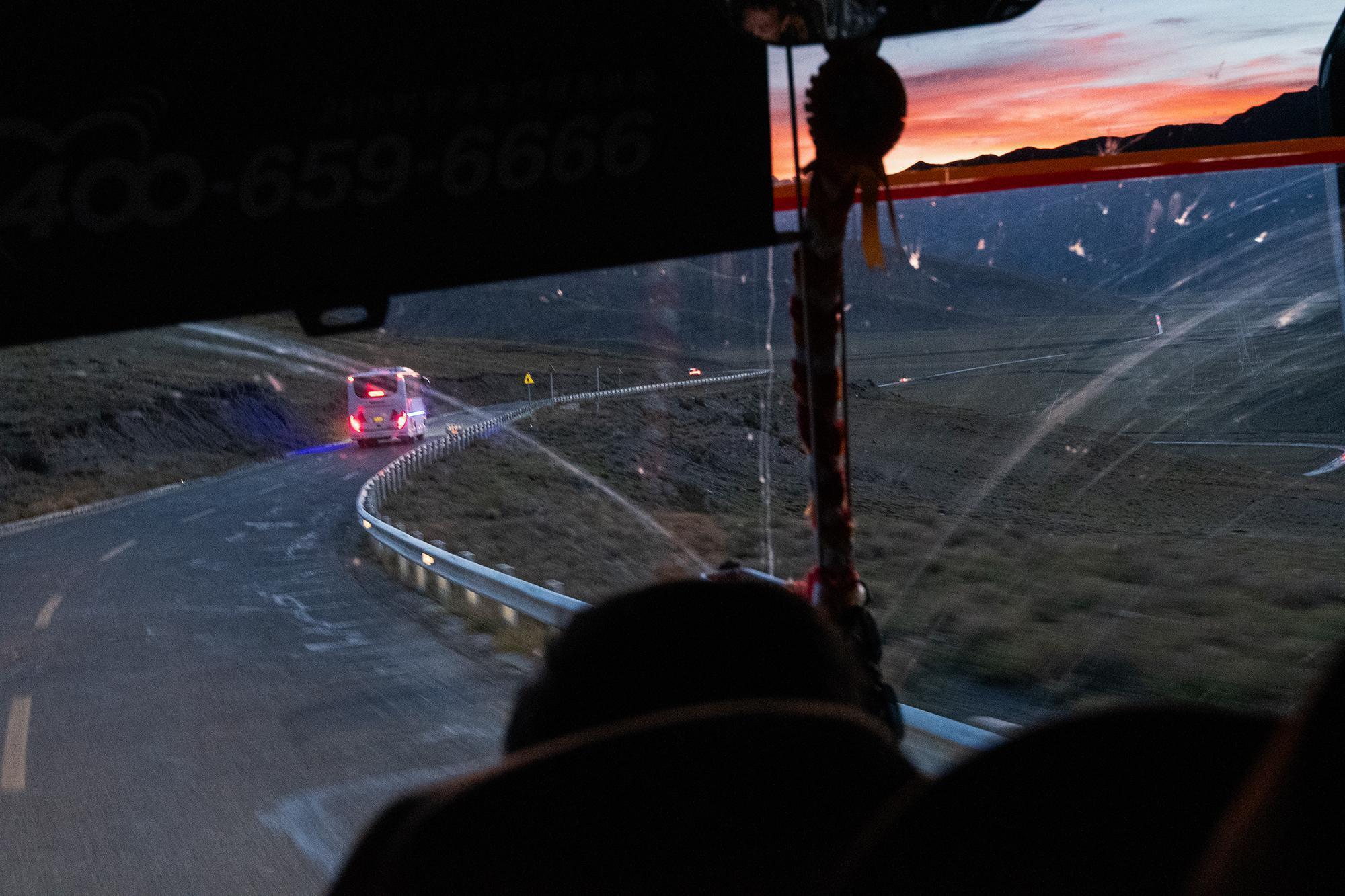
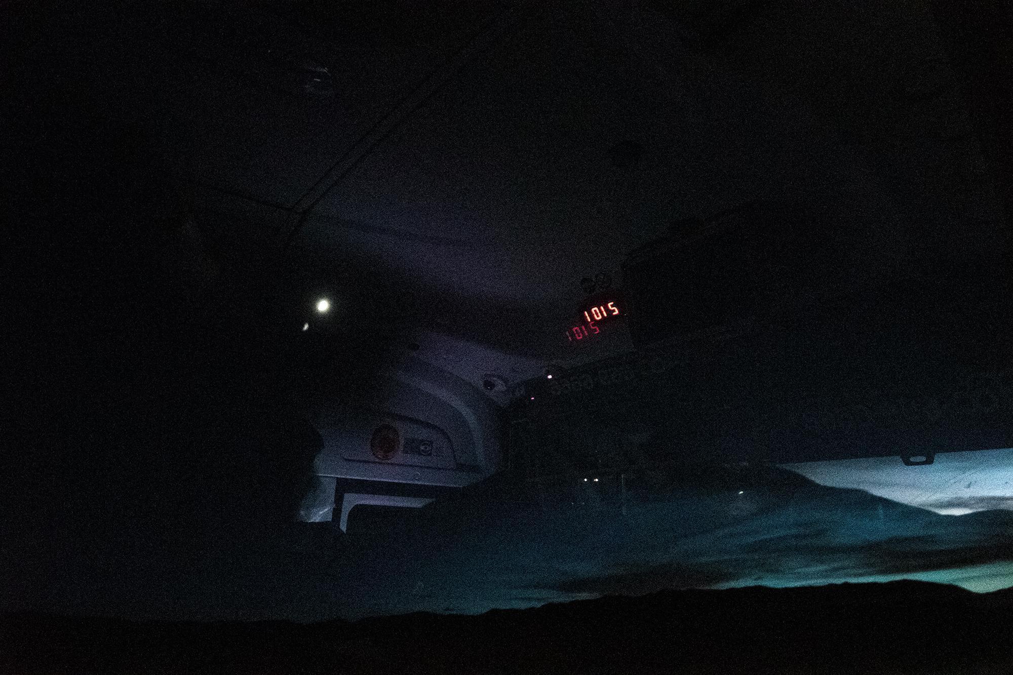
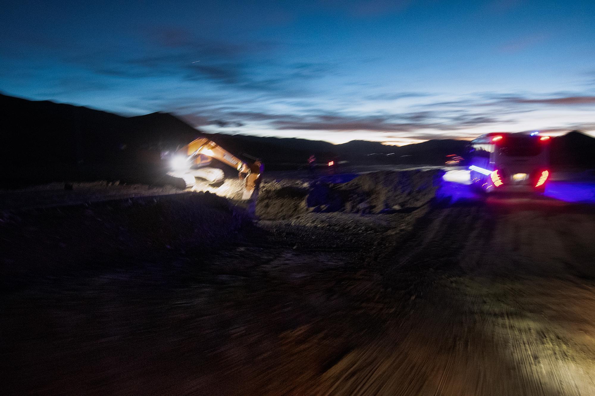
The bus stopped multiple times along the way for various reasons: checkpoints, gas stations, bathrooms, meals, and hotel.
There are a total of six checkpoints along the route. That means roughly every few hours, passengers have to stop for a check. A valid travel permit (边境管理区通行证) Travel Permit (边境管理区通行证): A permit required for travel to certain areas of Tibet and/or Xinjiang. The application and checkpoint procedures differ for non-Chinese citizens and require additional documentation. is also required for the route and will be checked at some of the checkpoints. Among the six checkpoints, two require an ID scan with passengers staying on the bus. At another one, passengers also stay inside while immigration officer come onboard to conduct the check.
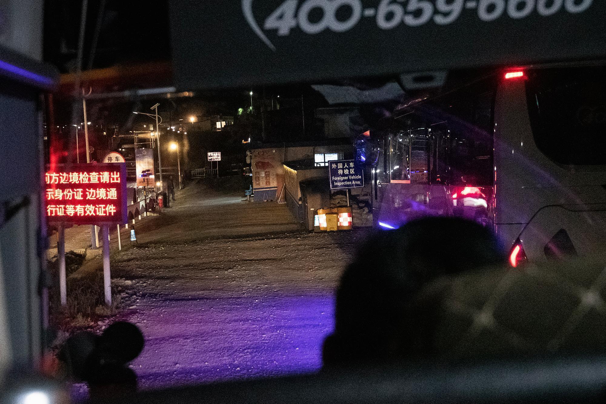
As for the rest, all passengers need to get off the bus for a face scan Face scan: A facial recognition check used to verify people's identities. . (For other types of transportation — trekking, bicycles, motorcycles, standard passenger cars, etc. — the process is generally different. Passengers usually stay with their vehicle throughout the checkpoints and complete the facial scan without getting out. Non-Chinese citizens may also follow a different procedure.)
Then there are the gas station and bathroom stops. These vary depending on the condition of the bus and other circumstances, but they keep a reasonable number of stops along the way — roughly once every few hours.
The meal and hotel stops tend to follow a schedule. The bus stopped around noon for lunch, then continued through the afternoon and evening. Around 01:00 (D+1), it stopped again, this time for a four-hour break.
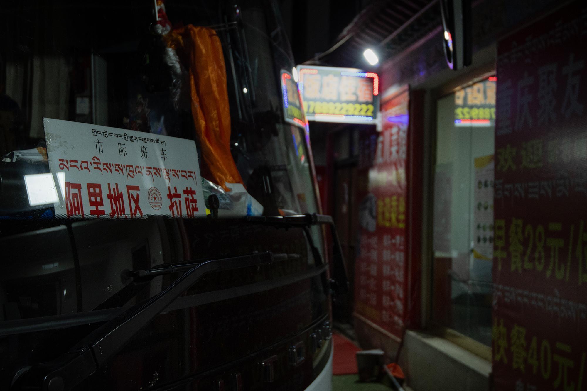
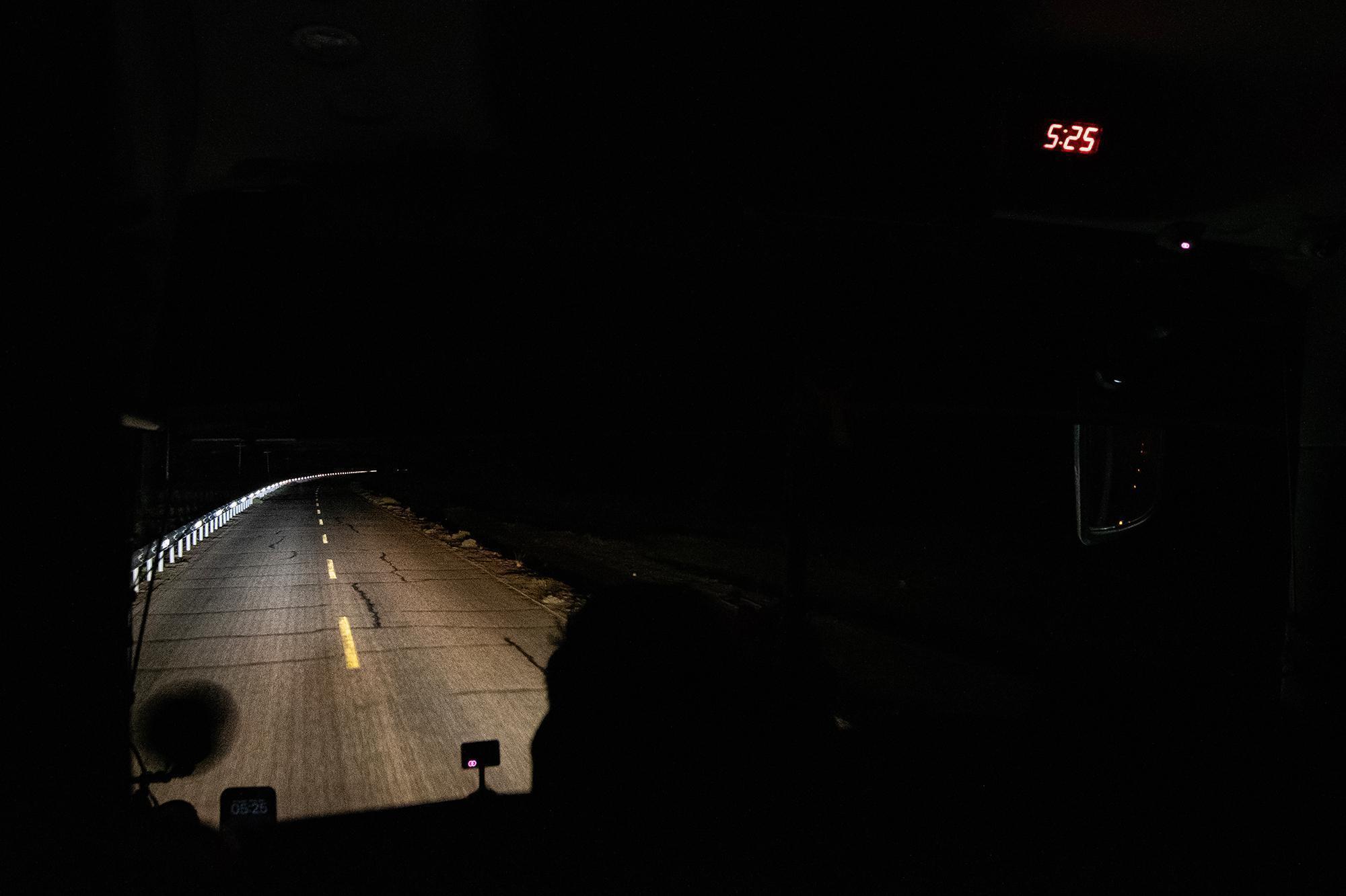
Then, at around 05:00 (D+1), the bus set off again. By that point, the journey had already been going on for almost a day and almost reached Darchen. Then, the bus arrive at the town at around 09:30 (D+1).
# II. Tickets
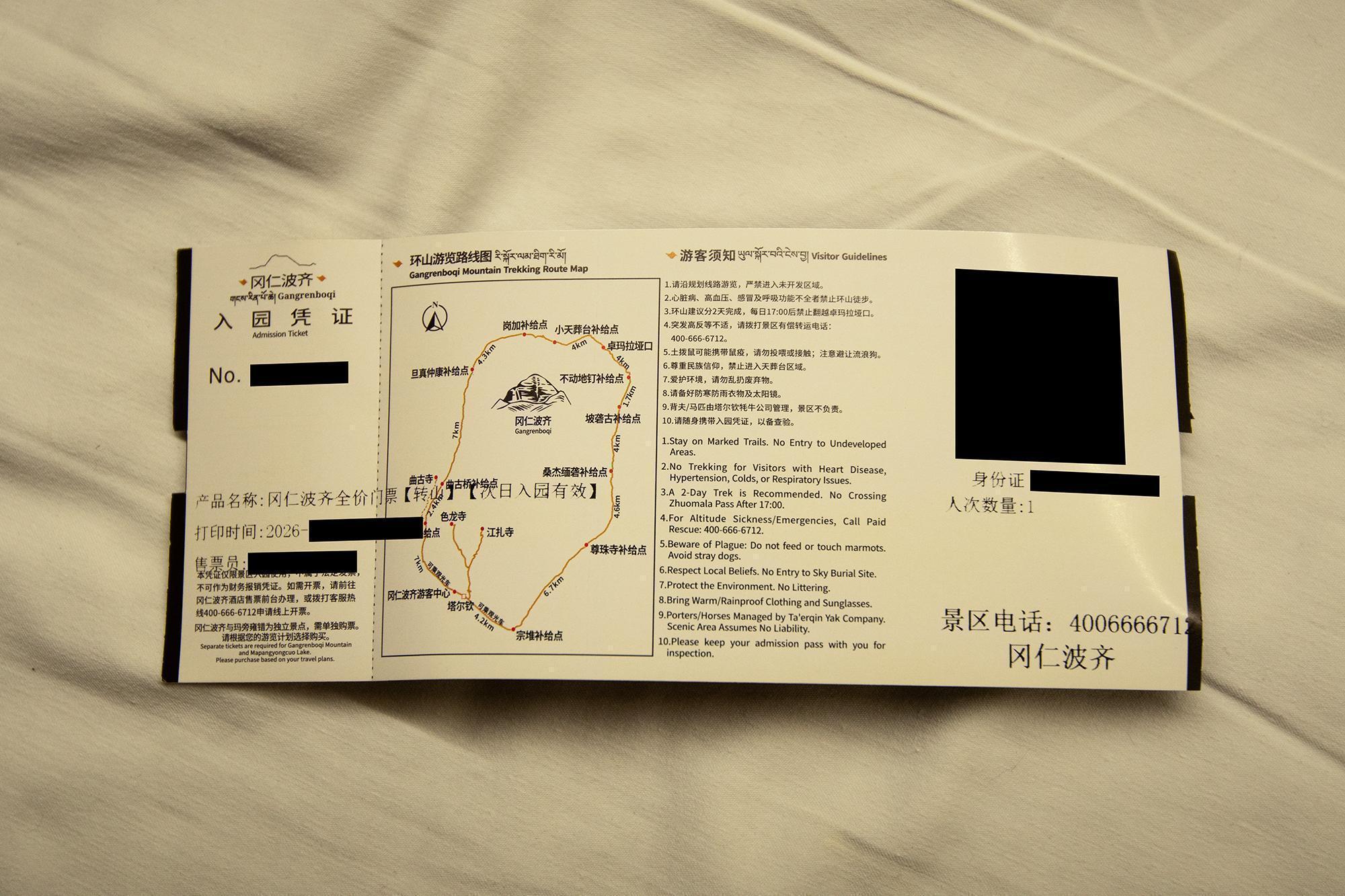
No ticket office is listed on Google Maps as of today. And the only ticket office listed on Chinese map services, such as Baidu Maps (百度地图) and Amap (高德地图), is not actually where the tickets are sold (yeah, confusing).
Instead, ticket sales are split between several hotels, including Himalaya Kailash Hotel (喜马拉雅冈仁波齐酒店), Tarchen Grand Hotel (塔尔钦大酒店), Formont Hotel (欢漫酒店), and Kora Starting Point Hotel (起点酒店). All of them start selling tickets from 11:00 until they sell out. The ticket is for entry on the following day, so tickets need to be purchased one day in advance. As of today, the ticket price was 150 CNY (≈20 USD).
# III. The kora (Stage 1): Under the Kailash stars
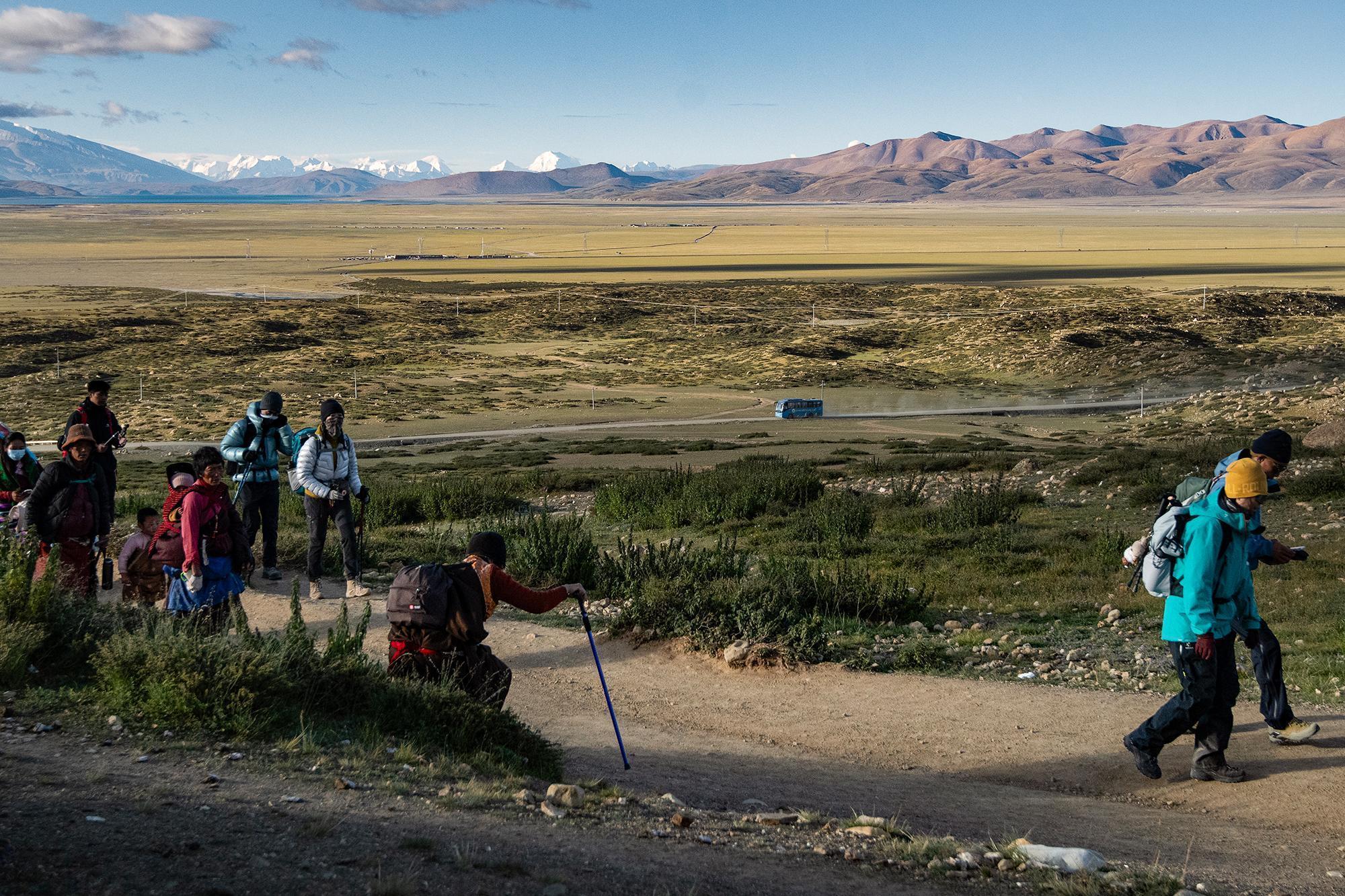
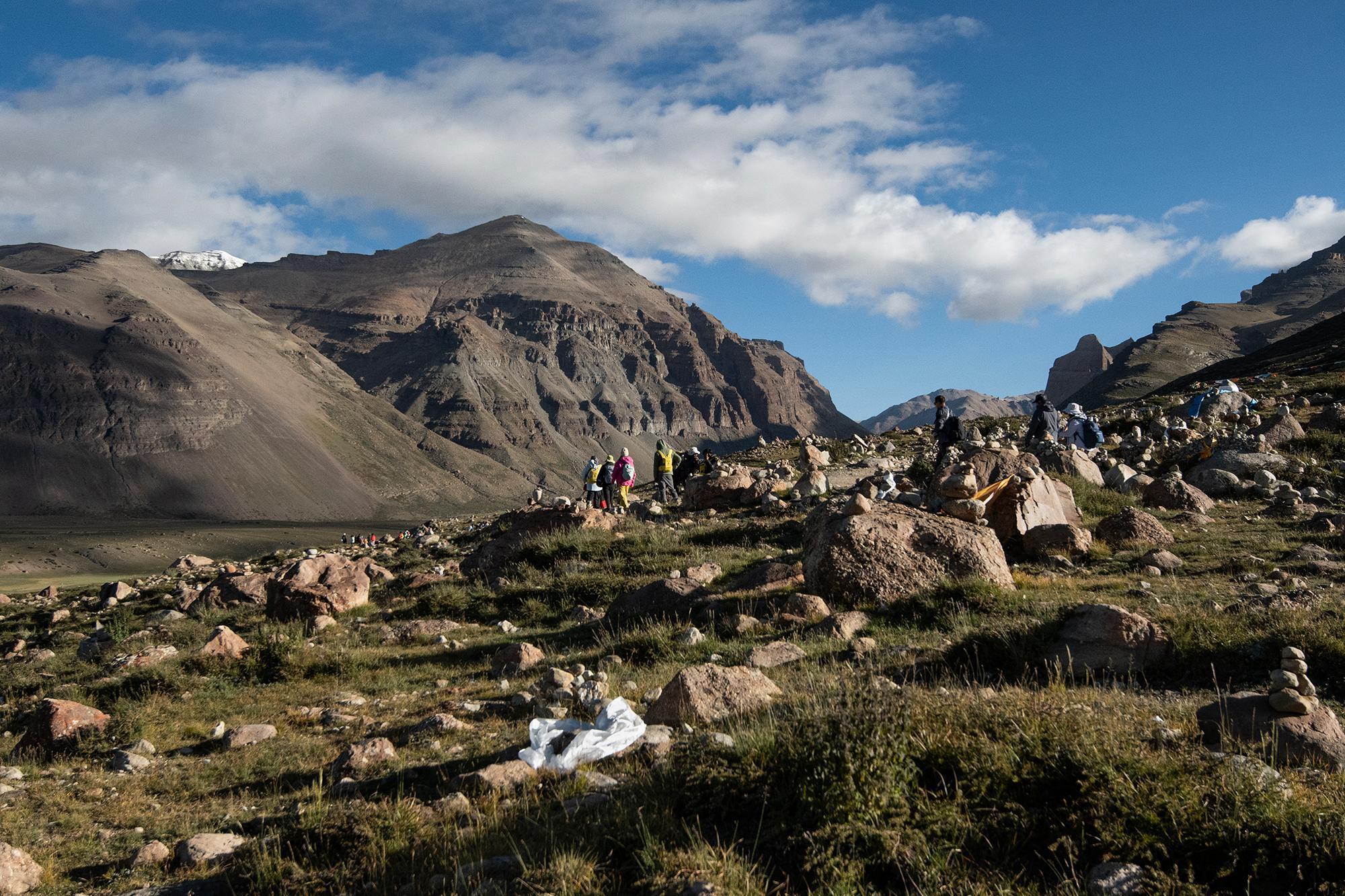
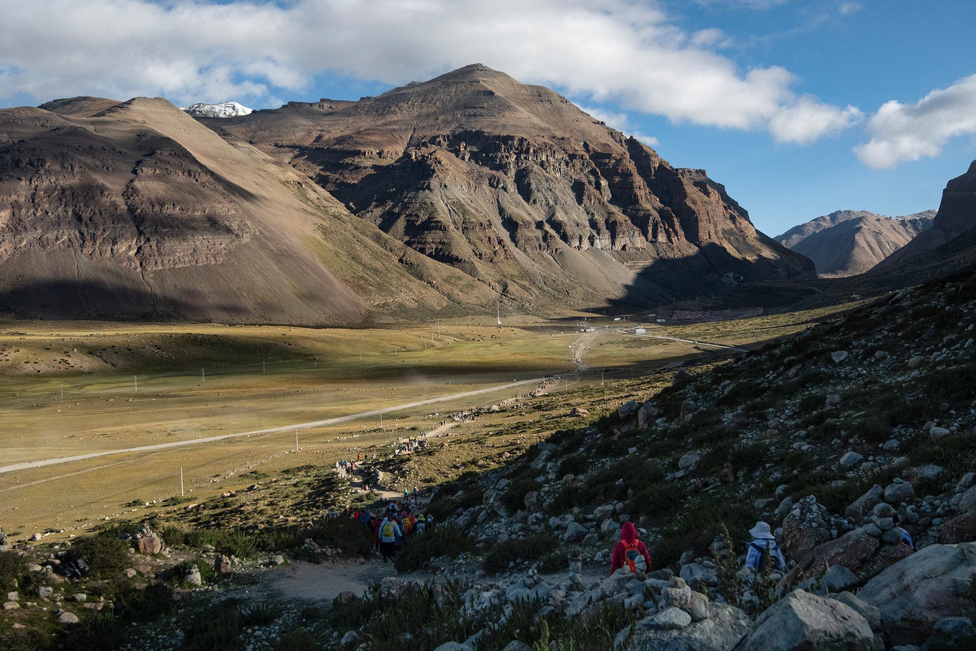
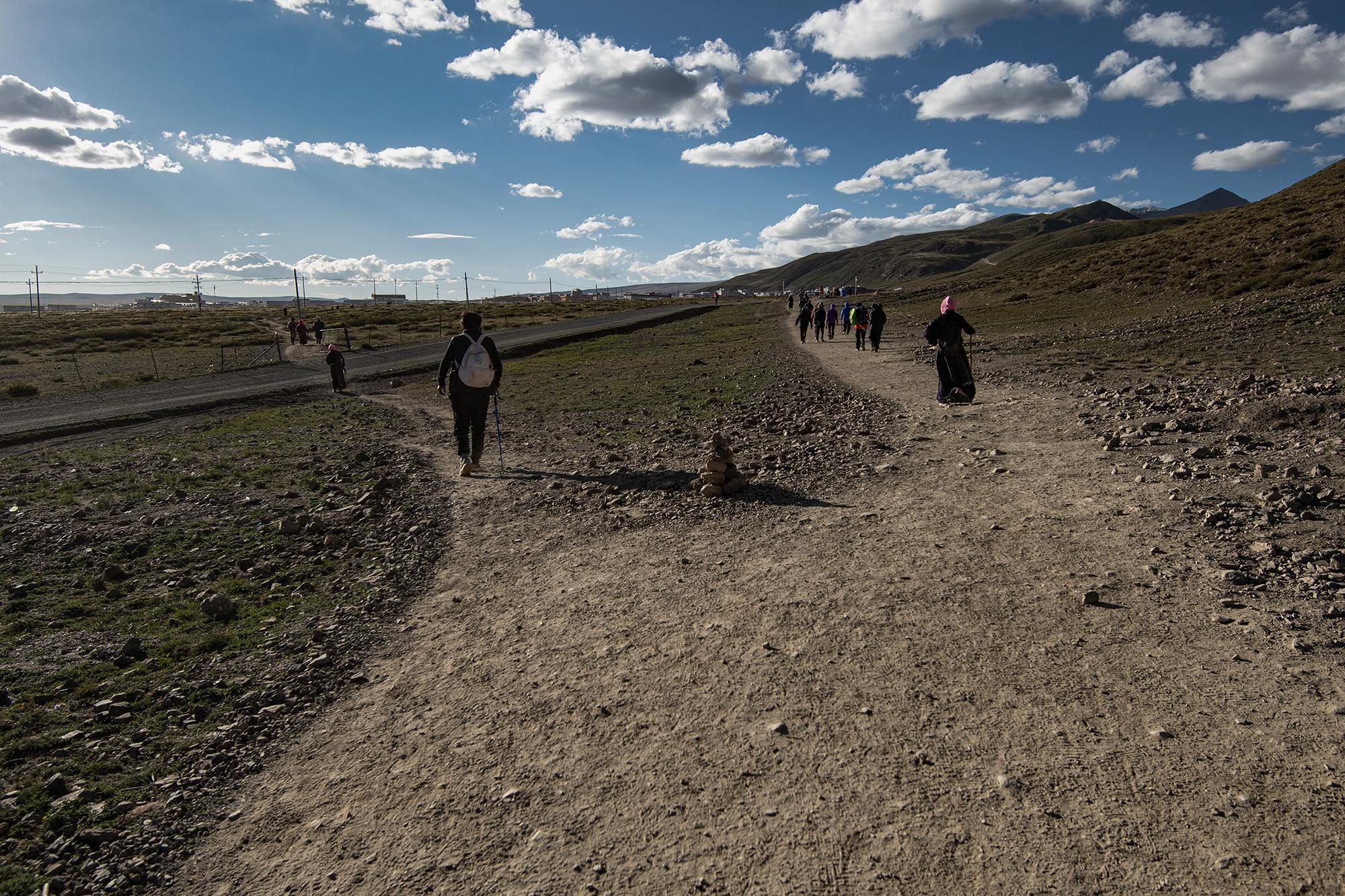
I started the kora the next day at around 09:00. It was probably the most crowded route I've ever seen. The dirt road winds up and down with the mountains, packed with people.
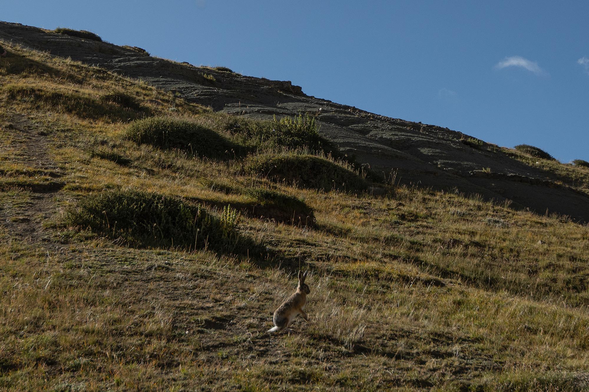
Just a few kilometers in, I ran into a hare (likely a woolly hare Woolly hare (Lepus oiostolus): a high-altitude hare found across the Tibetan Plateau and surrounding regions of China, northern India, and Nepal. It typically inhabits alpine meadows, grasslands, and cold upland environments at elevations of roughly 2,500-5,400 m. ). It moved incredibly fast, running away almost as soon as I noticed it.
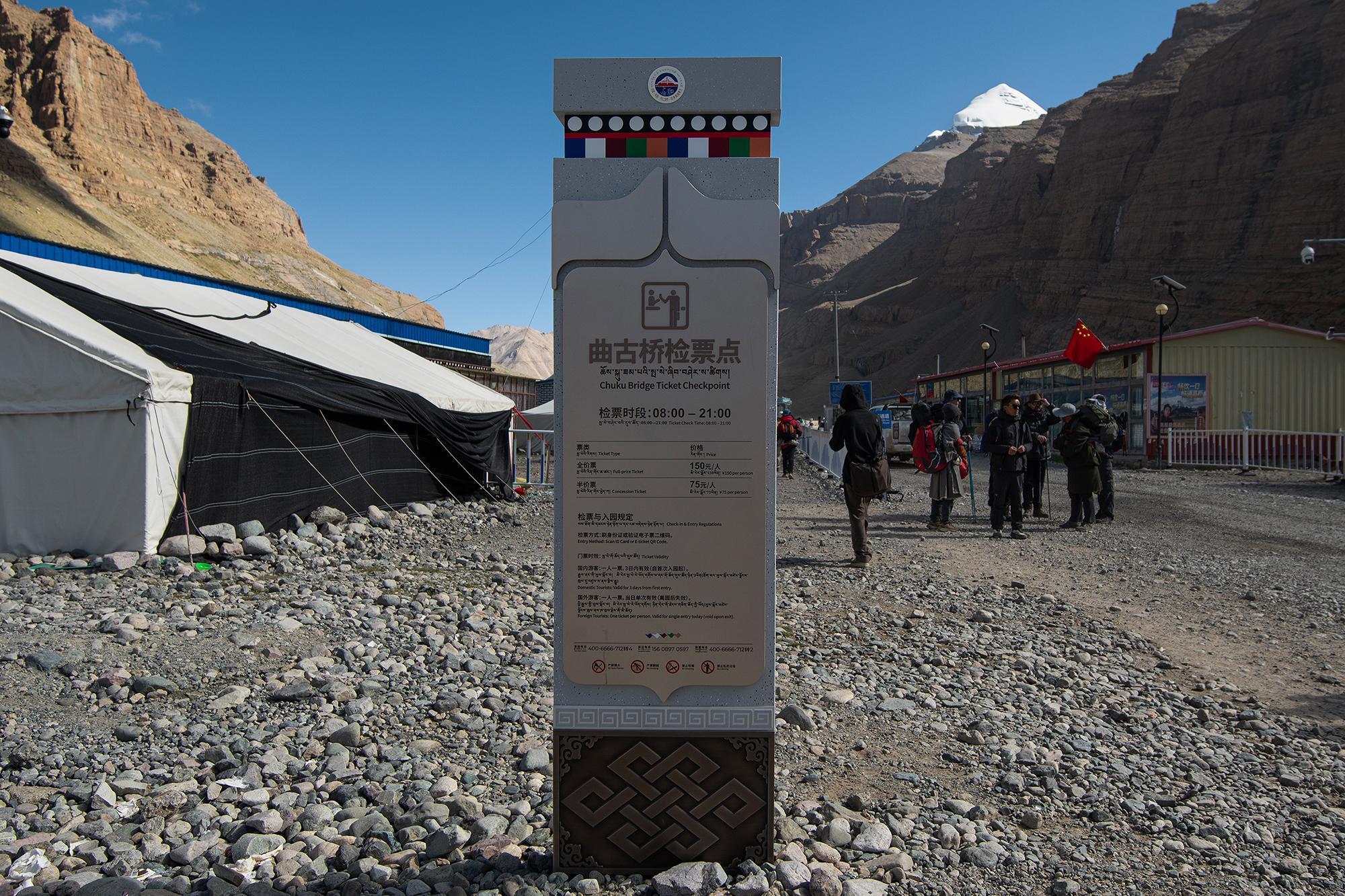
Despite the crowds, the first roughly 9 km, up to the Chuku Bridge Ticket Checkpoint (曲古桥检票点), was relatively relaxed. The road was manageable, with little elevation gain during this part.
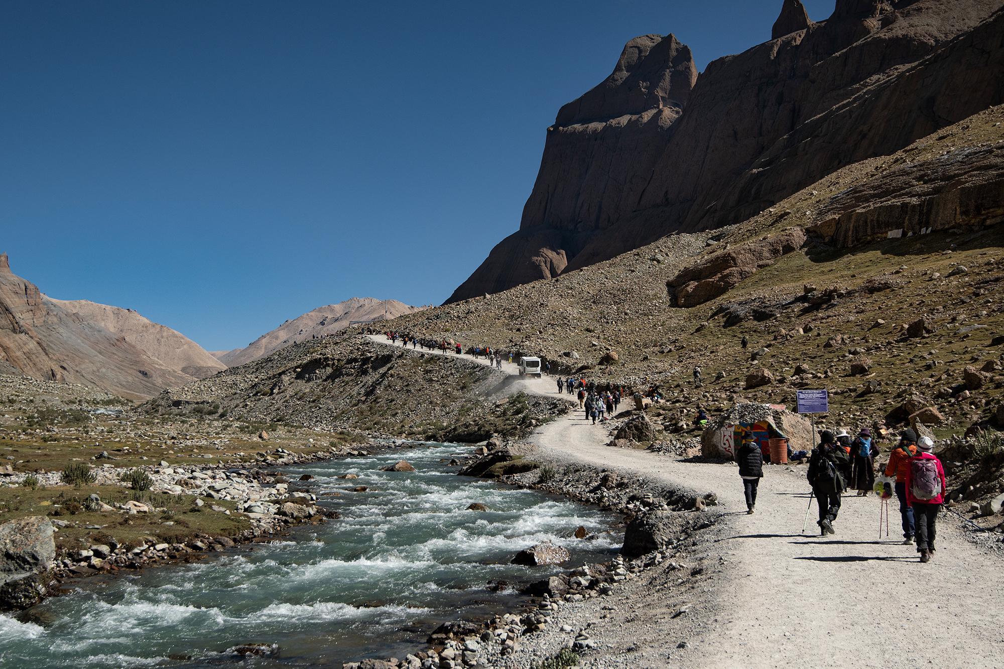
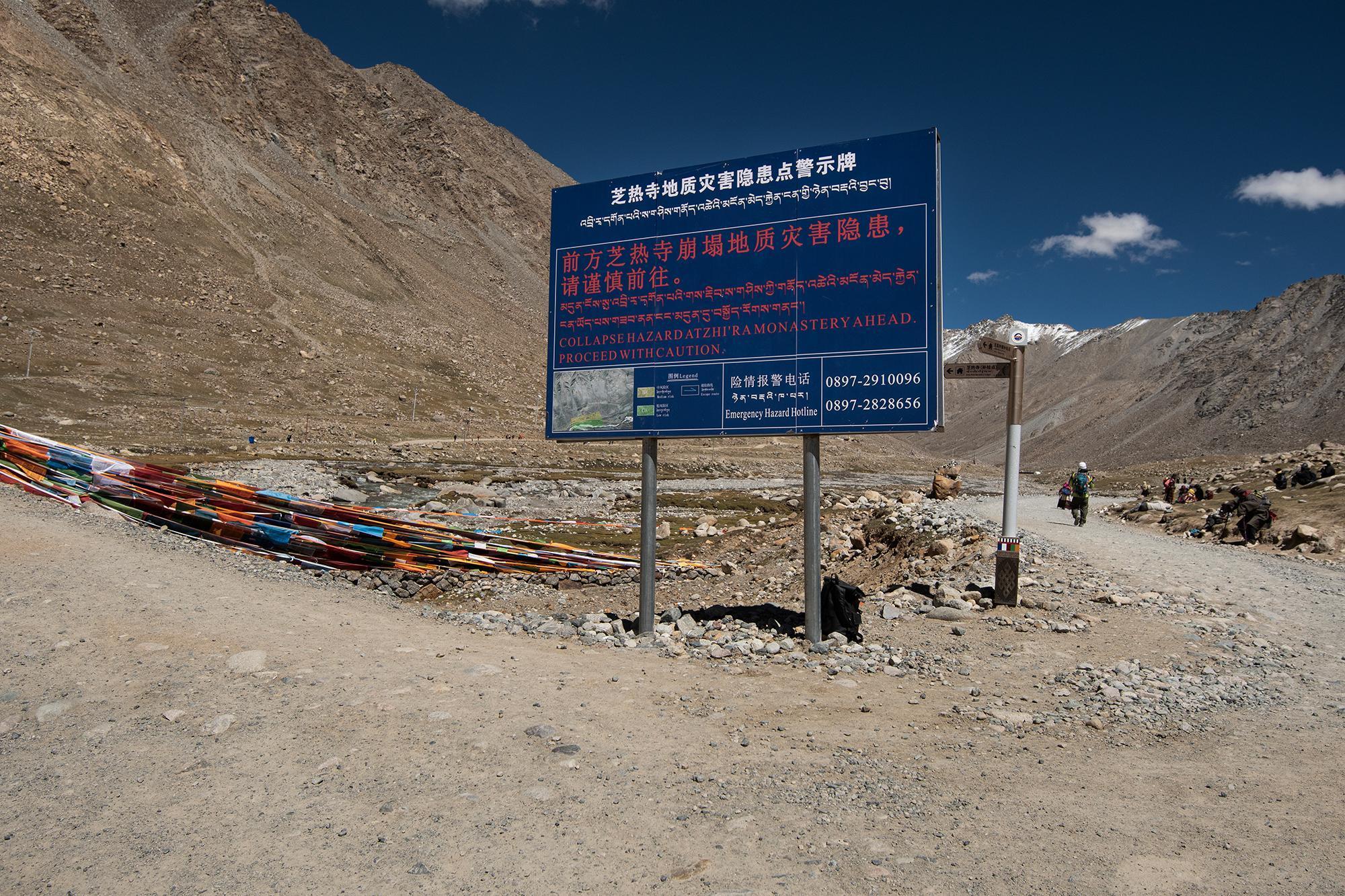
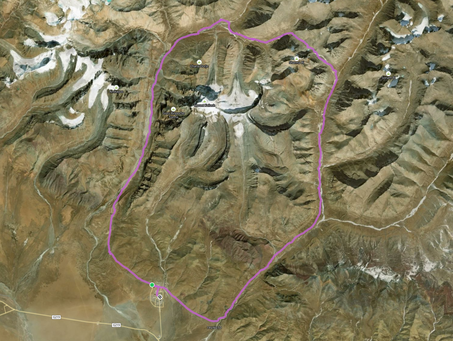
Just before reaching the Dirapuk Monastery (芝热寺) Dirapuk Monastery (芝热寺): A monastery along the Mount Kailash kora, located beneath the north face of Mount Kailash. , the road splits into two: the left path leads to the monastery and then continues toward Dolma La Pass (卓玛拉垭口) Dolma La Pass (卓玛拉垭口): The highest point of the Mount Kailash kora, at an elevation of about 5,650 m (18,540 ft). , while the right one bypasses the monastery and goes straight toward the pass.
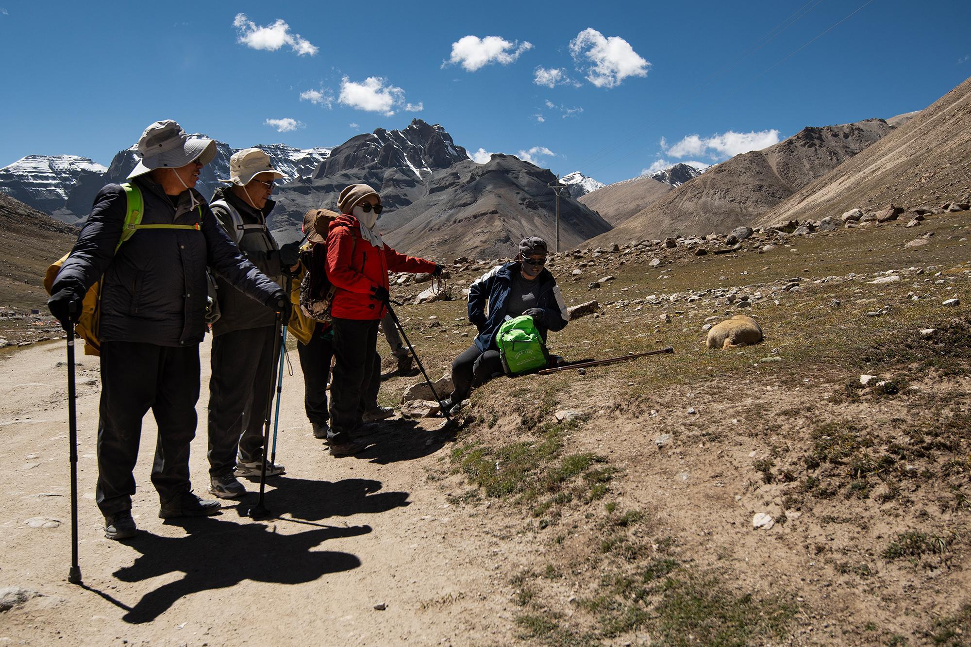
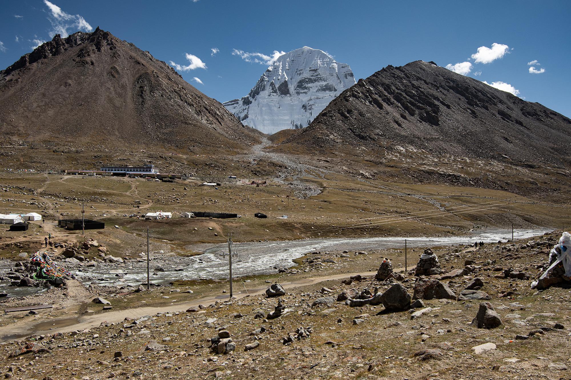
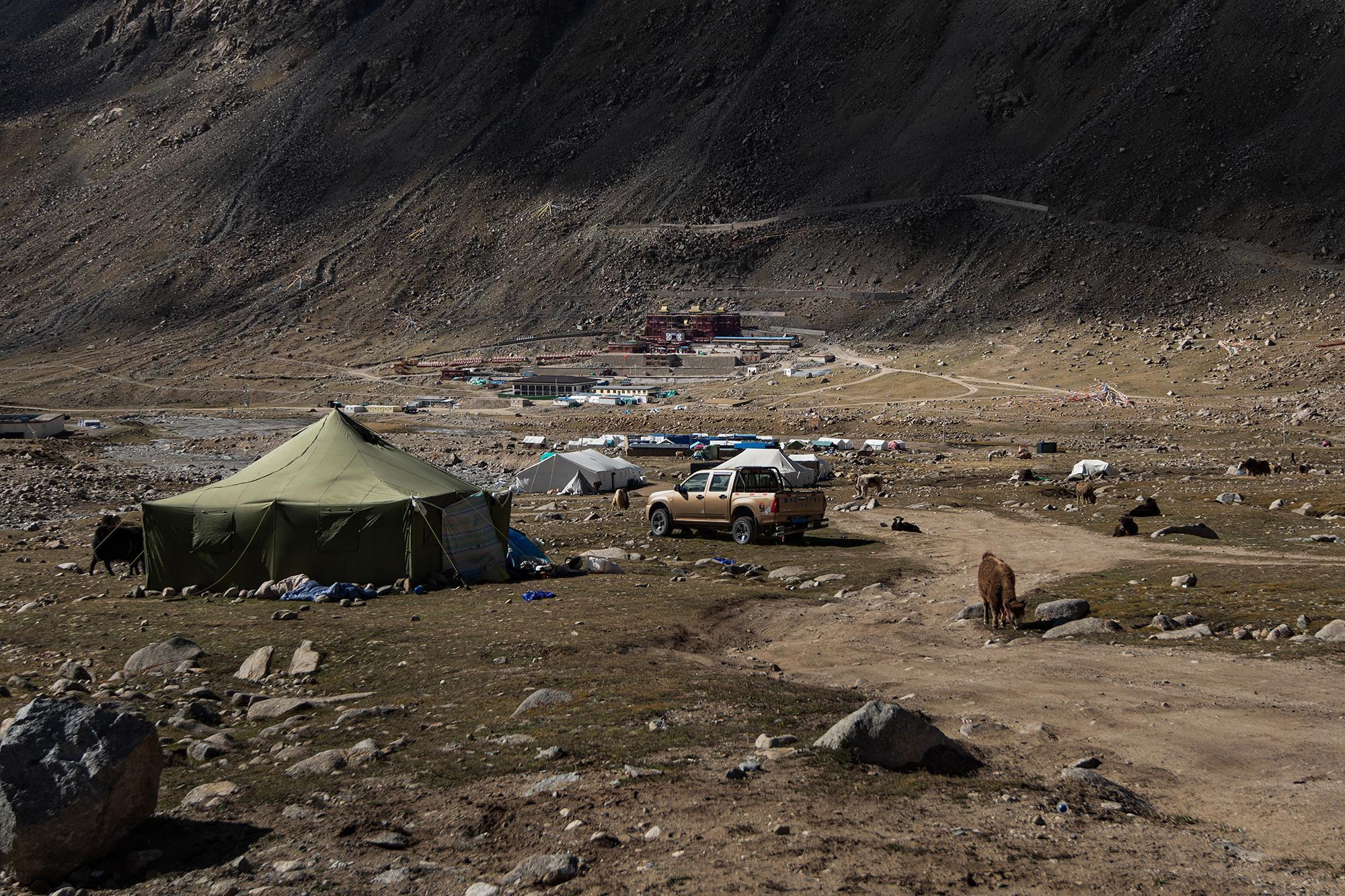
11 km after the ticket checkpoint, I arrived at the monastery. By then, the scenery had changed several times, gradually transitioning from the urban surroundings of Darchen to open grasslands and then increasingly rocky terrain, with Mt. Kailash eventually appearing.
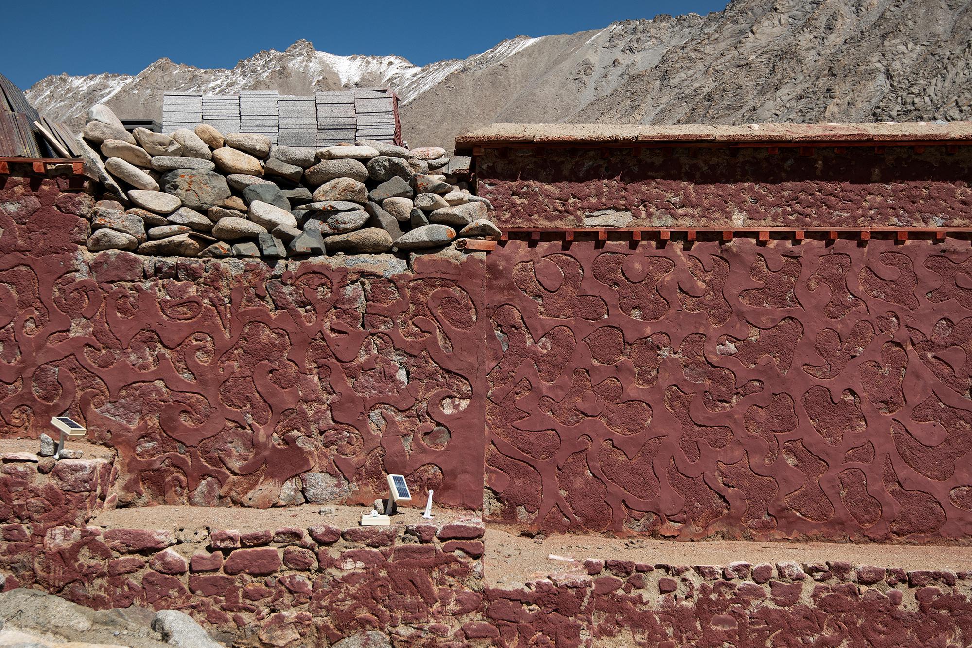
I found one of the walls of a building in Dirapuk rather interesting. Painted red, it visually blends in with the main monastery building. The wall is decorated with a clean but distinctive geometric pattern, with no two sections exactly alike.
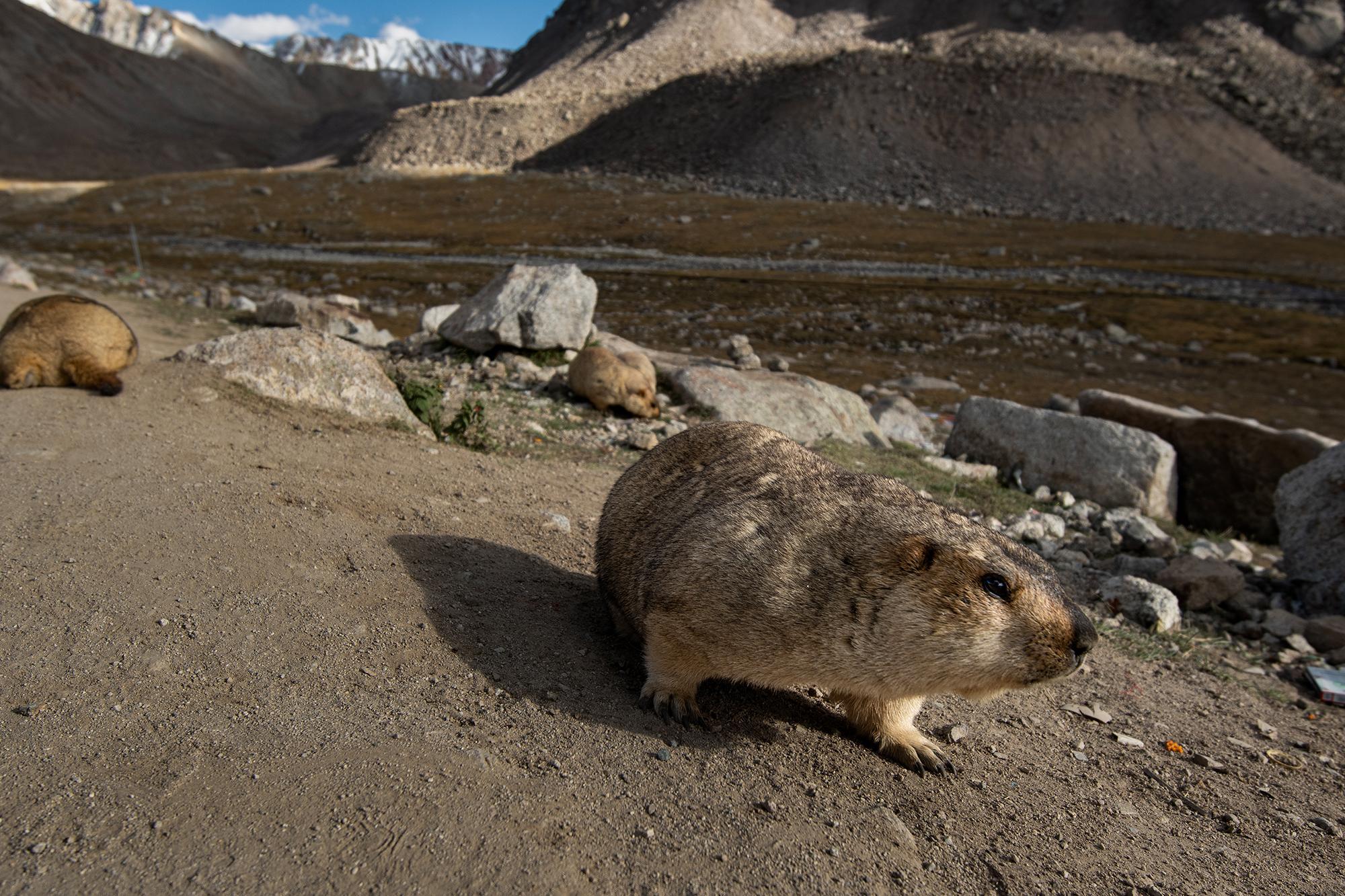
I arrived at the final stop for my first day, the Sky Burial site, at around 19:00. Saw these marmots Marmot: A large, ground-dwelling rodent related to squirrels. Marmots live mainly in mountainous and grassland regions across the Northern Hemisphere, where they typically live in burrows and feed on grasses, herbs, and other vegetation. Many species hibernate through the winter. just outside the site, then had a bowl of noodles and rested for a while.
Butter tea (བོད་ཇ་ / 酥油茶) and sweet tea (ཇ་མངར་མོ་ / 甜茶) are two of the most common drinks in Tibetan tea houses. And despite being called tea houses, they usually offer more than just tea, with simple meals, snacks, and other food available as well.
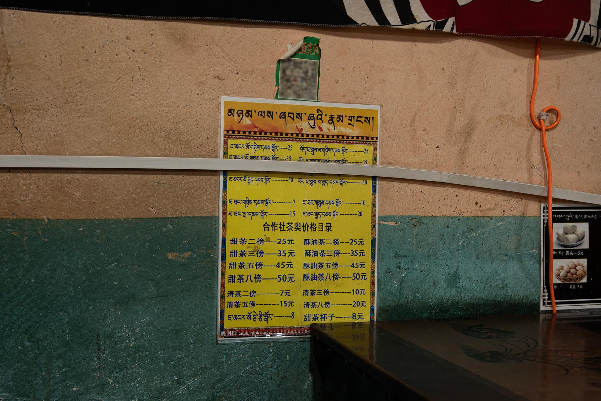
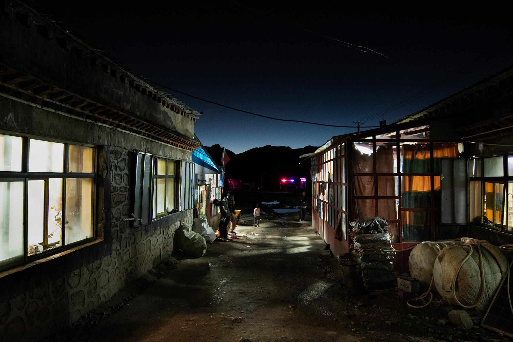
By the time I woke up, it was around 21:00. I walked out of the tea house. A truck carrying supplies had just arrived outside, and people were unloading it.
I walked a few steps forward,
and suddenly,
everything stopped.
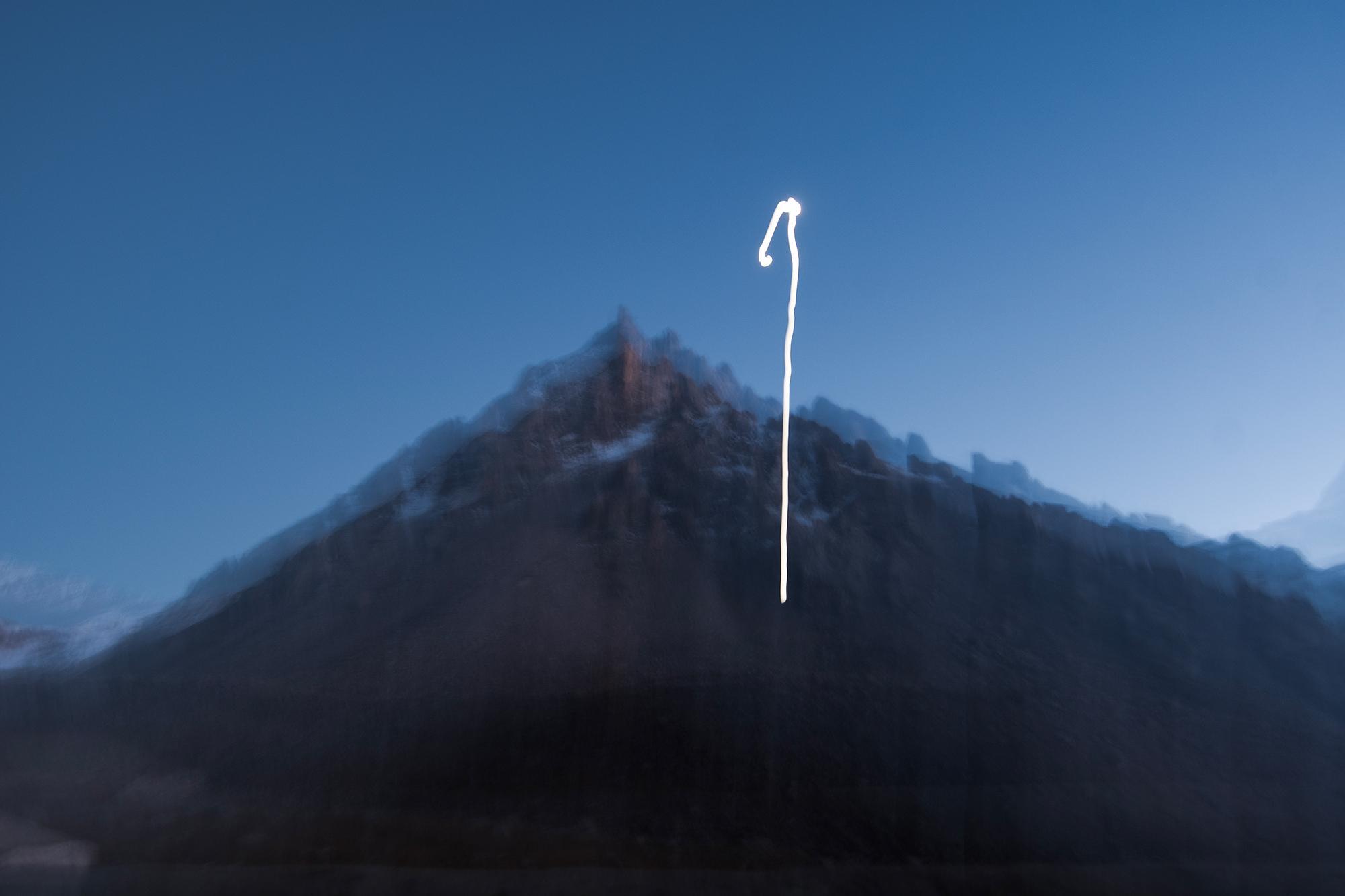
The sky was so clear. The sun had just gone down behind the mountains, leaving a little light on them, just enough to see their shape. As the last light slowly faded, the stars began to appear, becoming clearer with every passing second. And then, there it was — countless little dots, scattered across the darkness.
Some people were still gathered inside the tea house, others resting in their rooms. No one was around. It was a moment for me, and only me — a gift from nature that I don't want to own. It would exist only in my memory. No photograph could capture even half of its beauty, and no words could truly describe its elegance.
# IV. The kora (Stage 2): Dolma La Pass
Spending the night on a wooden bench in a Tibetan tea house, 5,000+ meters above sea level, surrounded by mountains — definitely an unusual and interesting experience.
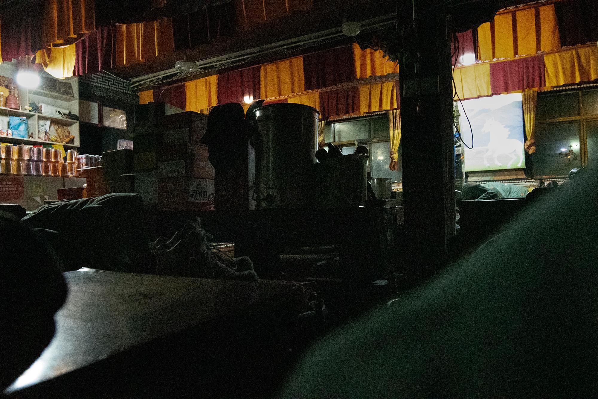
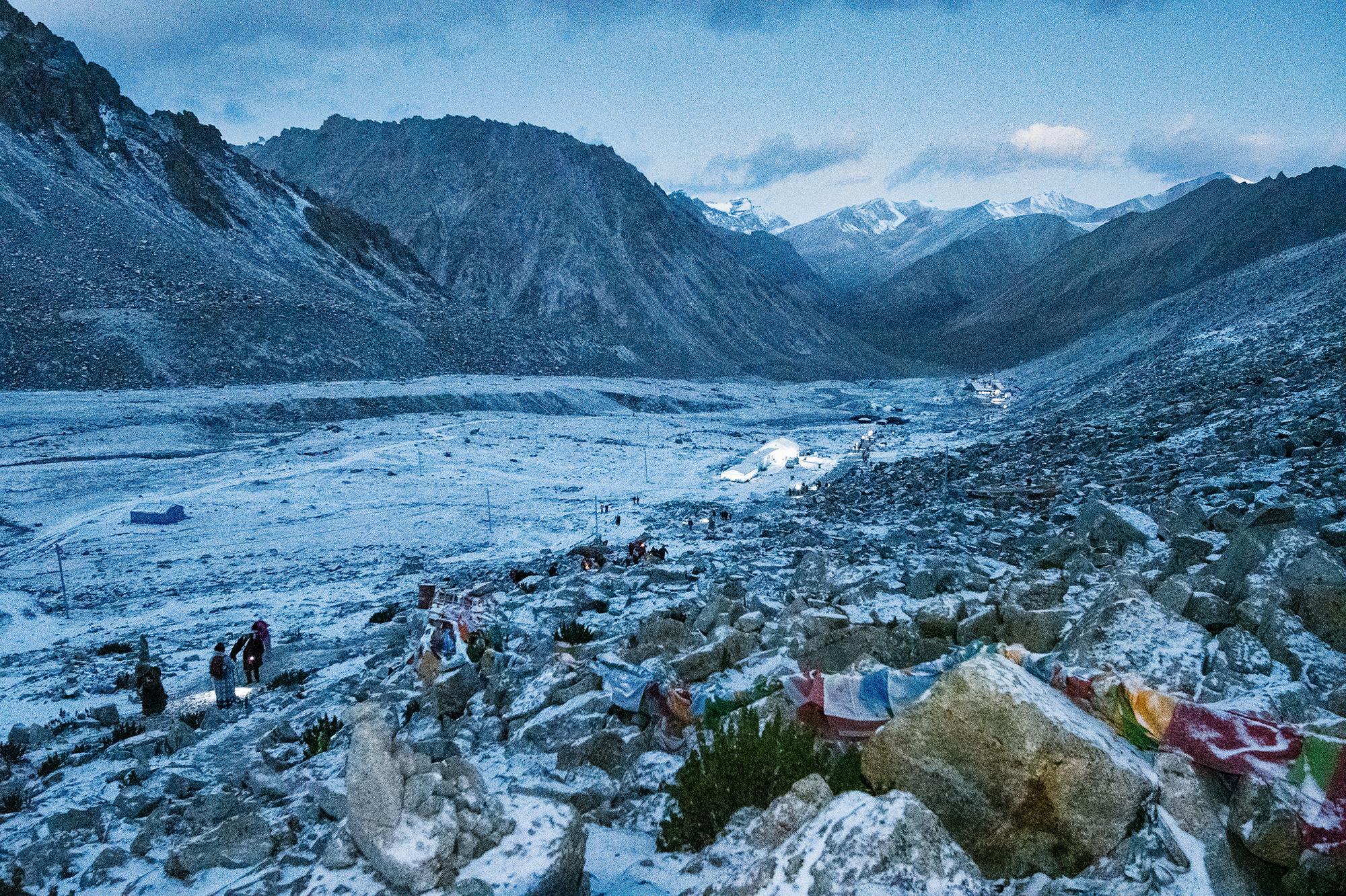
Seven hours later, I woke up at 05:00 the next morning. It was snowing outside, and the temperature had dropped a little since the night before. After breakfast — porridge and an egg — I sat and rested for a while. Then I heard someone calling me. It was David. We had met the day before on the trail. He and his two friends, Mark and Xi, were doing the kora for the third time. Their guide, Zhaxi, had done it 73 times. Extraordinary.
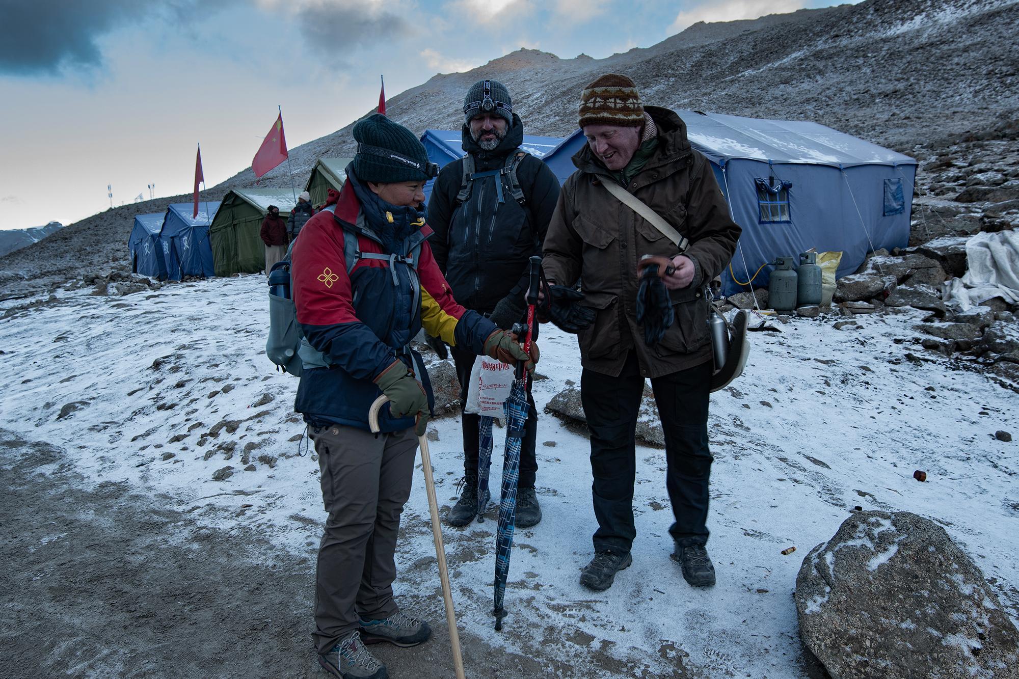
At around 07:00, we set off from the tea house and headed toward the pass. The sun was about to rise, but it was still dark at that point. Headlamps on, and there we go. After about an hour of walking, the sky slowly began to brighten.
Soon after we set off, Mark started picking up trash that people had left behind on the mountain. I kept my own garbage contained, but collecting what other people had left along the way was not something I had in mind at the time. I was moved by it, such a small action can be important. One plastic bag might not seem like much when you look at them individually, but they accumulate. One person leaves a bag, another leaves a bottle, someone else drops a battery, and very soon, the mountain begins to carry the traces of everyone who has passed through it.
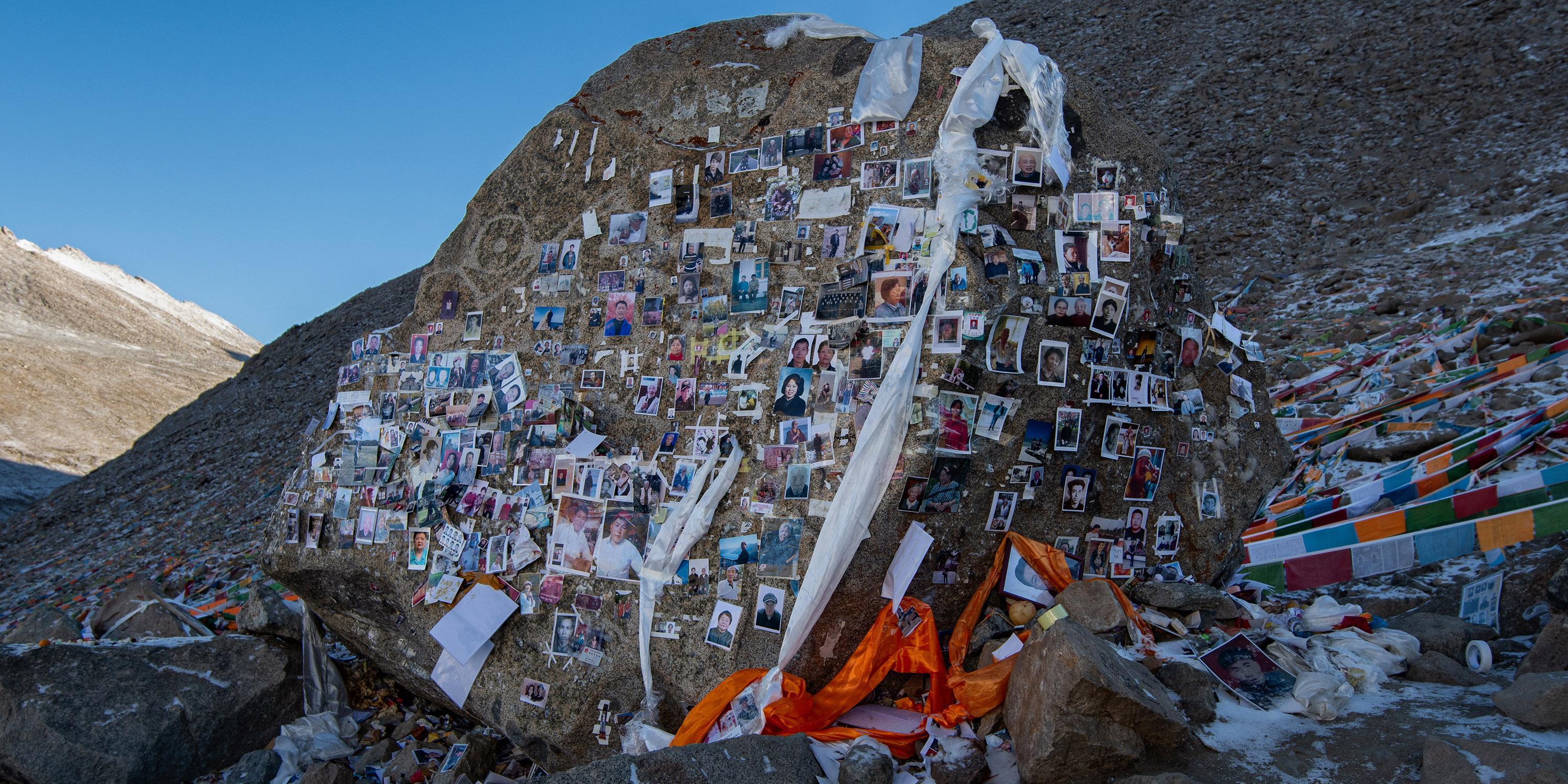
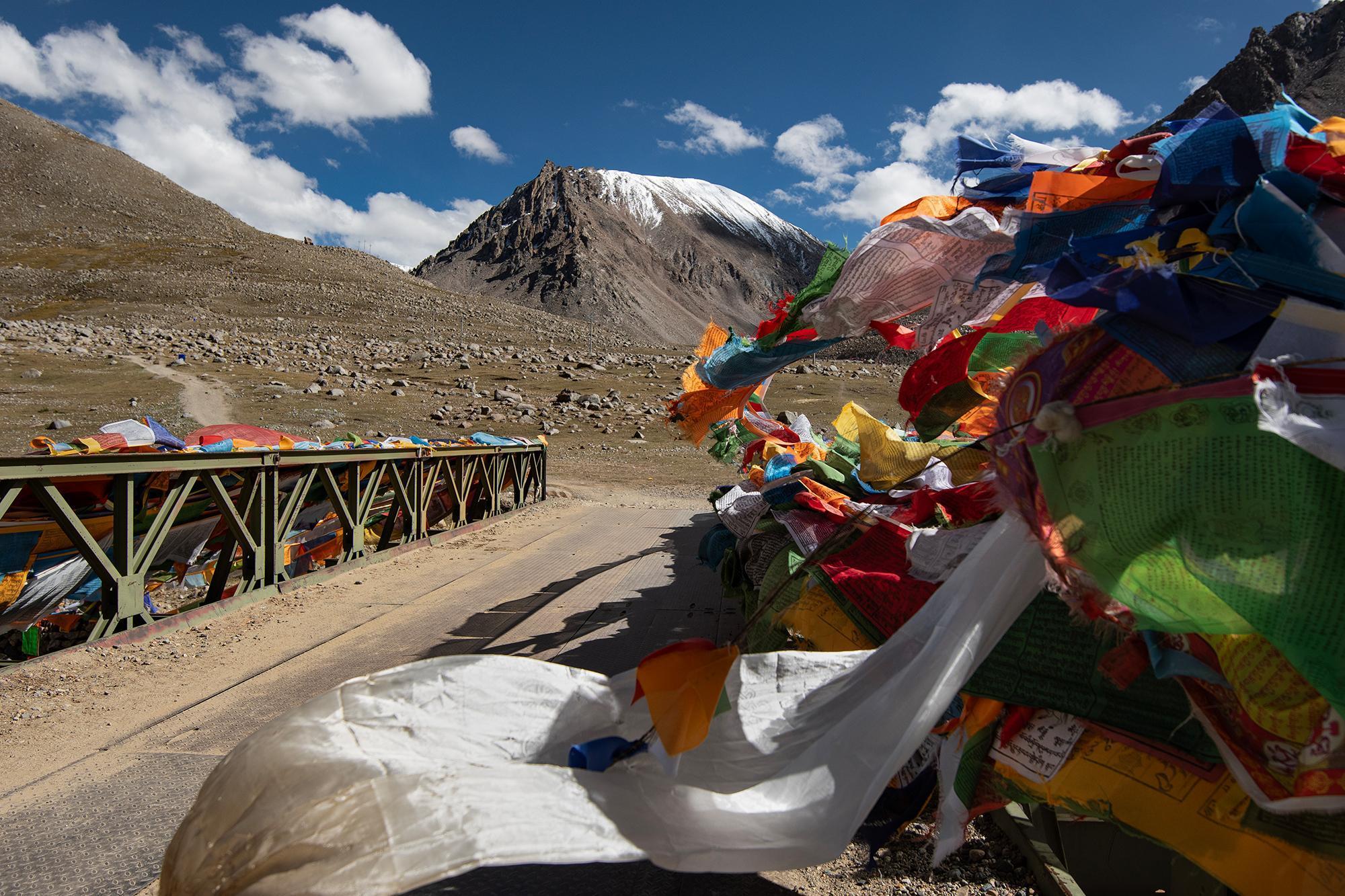
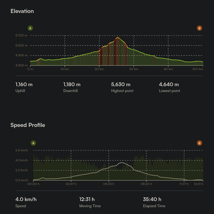
After about 4 km of ascending, I finally reached the pass (≈5,650 m). There was a memorial stone on the way up, and another one right at the top. Both were covered with photographs and notes.
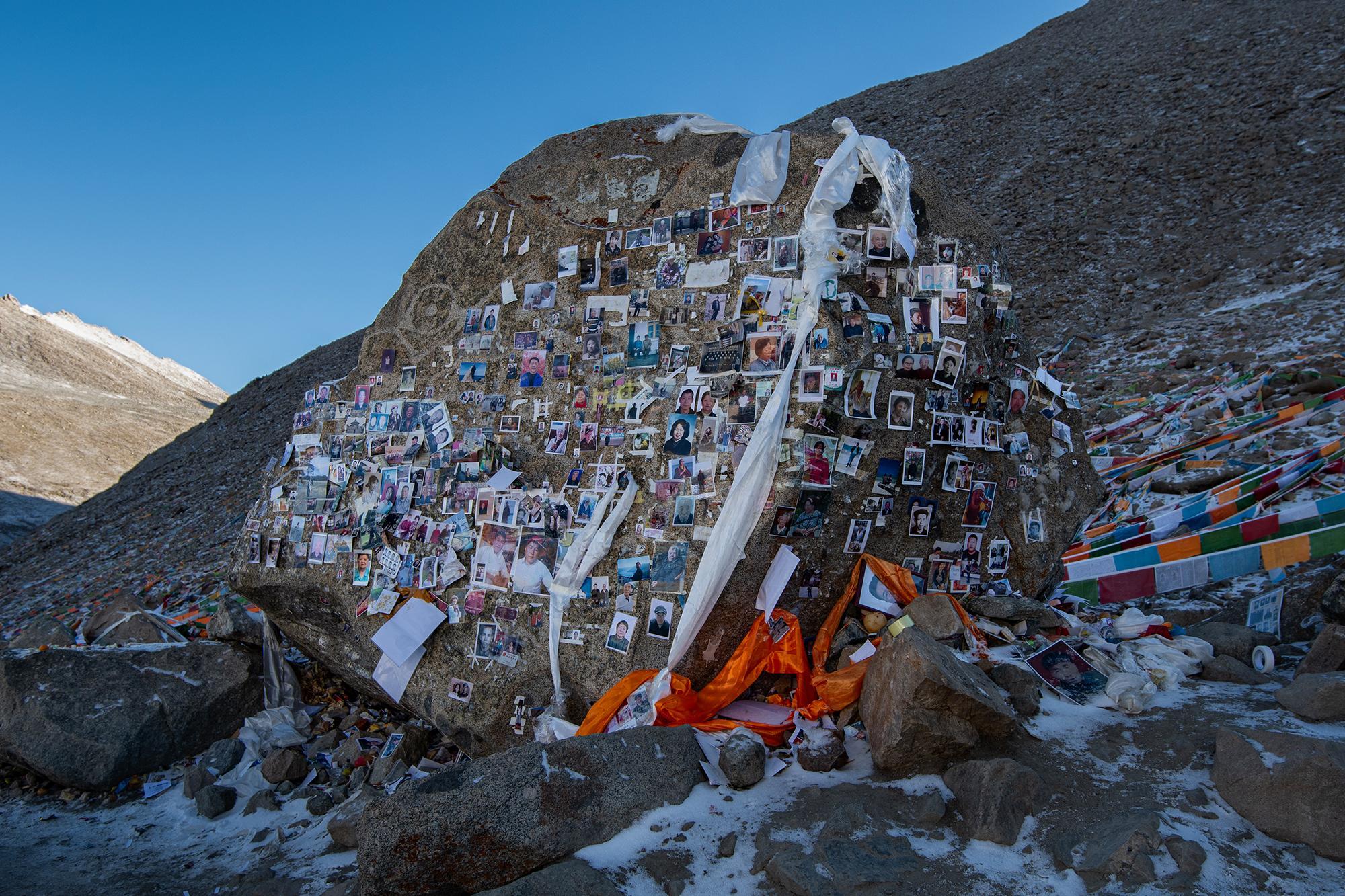
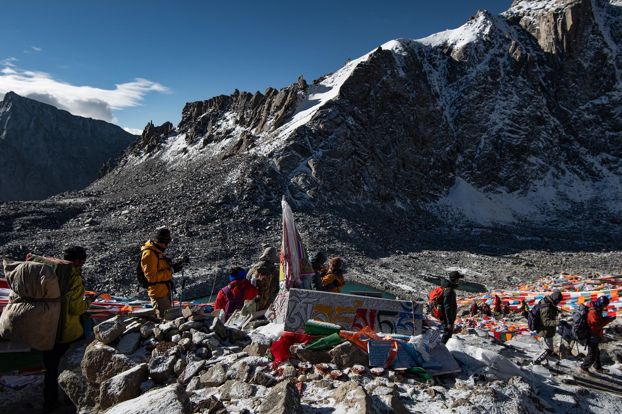
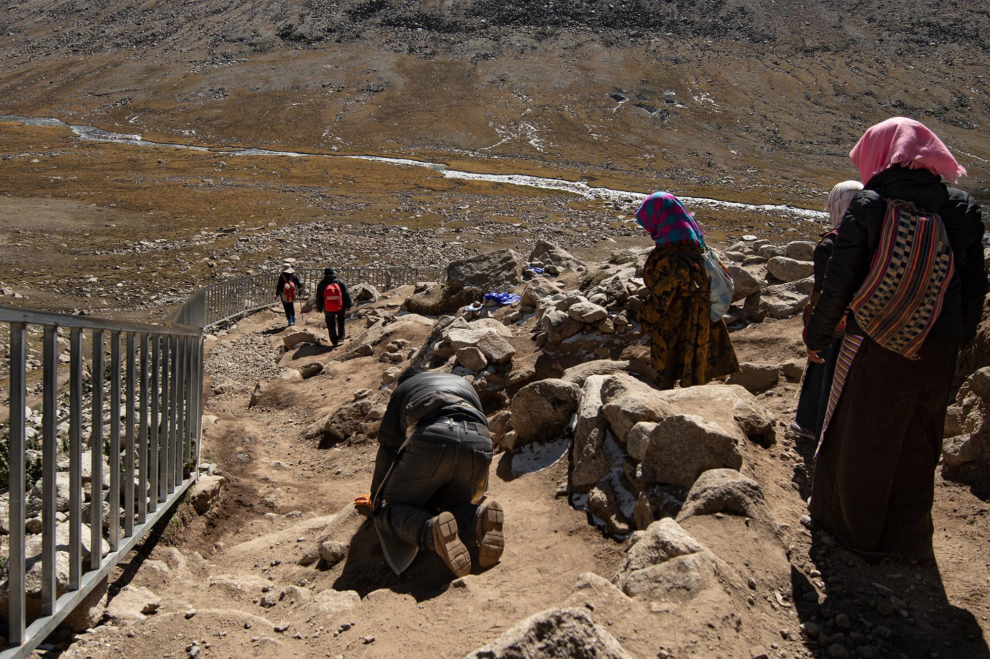
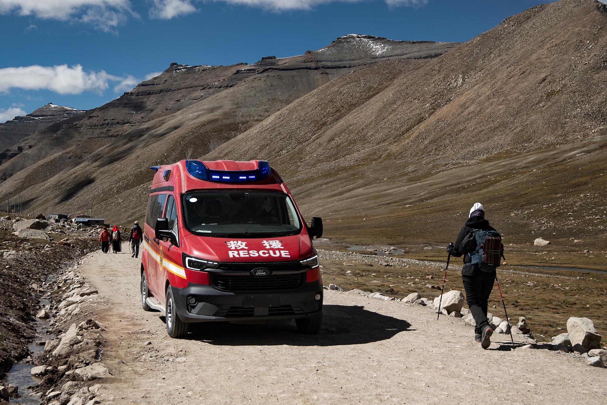
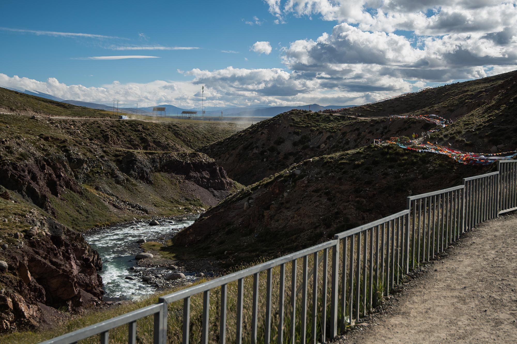
After the ascent, there were still about 20 km left. The first 10 km or so were mostly downhill, with metal railings along some of the sections. Then the route was basically flat, though the railings were still present in some places, with some small ups and downs along the way, all the way back to Darchen.
# V. The tourism dilemma
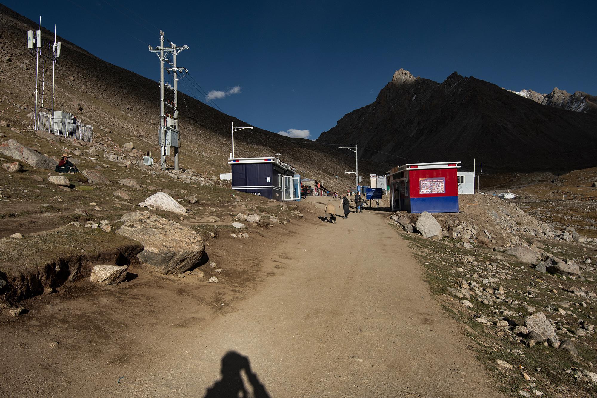
Mount Kailash has become increasingly accessible to tourists in recent years. More and more people come to visit, but many arrive without necessarily thinking about what they leave behind. Sometimes it is good not to think too much and simply follow our instincts. But there is a difference between following our instincts and moving through the world without thinking at all.
Tourism buses and cars are now available for those who don't want to walk the entire kora, allowing them to simply "fast-forward" the process. Medals are given to those who pick up trash, subscribe to some social channel, and show off their actions. There are also people who will hold a piece of trash for a photograph or video, only to discard it again moments later. Meanwhile, those who truly care for the mountain often do so quietly, without recognition, and without anyone knowing their names.
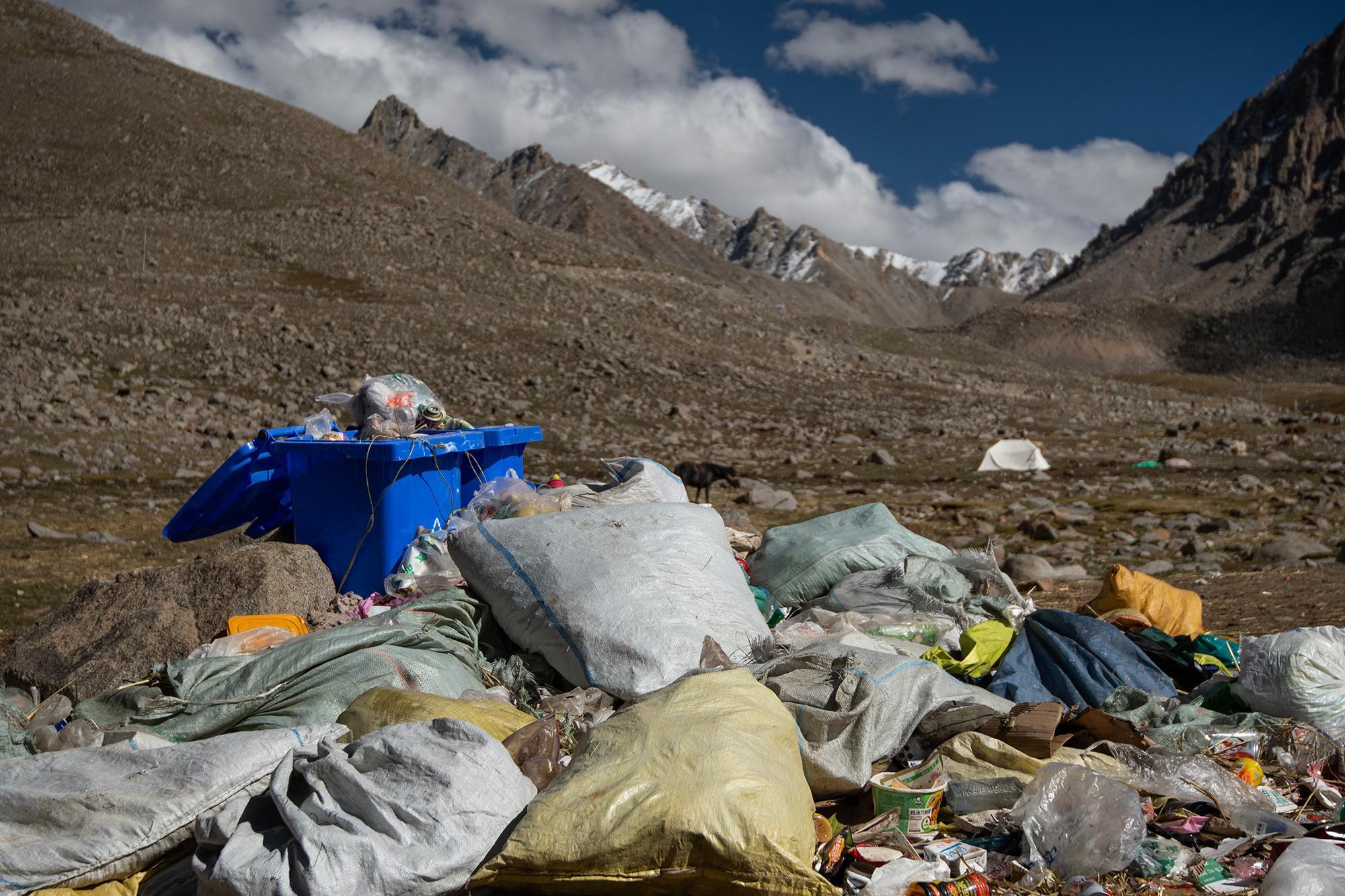
This is something I came across on the kora. If I were to take a photo every time I saw a piece of waste along the route, there would probably be hundreds, if not thousands, of them. Many were stuck in the ground and were gradually becoming part of the land, probably discarded by people some time ago.
It is said that one kora in the Year of the Horse carries the spirit of thirteen. But no matter how many spirits a kora is believed to carry, it means nothing if we cannot respect the mountain we've come to visit.
In China, almost anything that becomes, or could become, a trend is quickly turned into a tourist attraction. Fences go up, fancy structures are built around it, and promotional campaigns start telling people how great it is. Once something gets that kind of attention, most people tend to follow the trend, often without thinking much about what made the place interesting in the first place, or is it even interesting to them at all.
# VI. རྟ
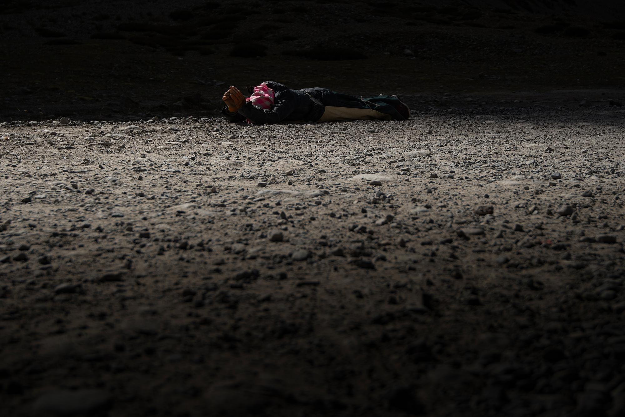
The Horse Year returns once every 12 years. Two cycles have passed since my birth. I've never been here before, yet the mountain feels strangely familiar — like an old friend I'm meeting for the first time.
Humans come, take, destroy, and eventually leave. It seems like that's what we always do.
I've always found some of the Tibetan ideas around death and the cycle of life beautiful — sky burial Sky burial (བྱ་གཏོར / 天葬): a Tibetan funerary practice in which the body is offered to birds and the sky, returning it to the natural world. , water burial Water burial (ཆུ་གཏོར / 水葬): a Tibetan funerary practice in which the body is placed in water, returning it to the natural world. ...
We take, and we give back.
# VII. Technical details
# Sources & Notes:
Mount Kailash / Google Earth: Lhasa Beijiao Passenger Station (拉萨北郊客运站) / 中华人民共和国边境管理区通行证 (Travel permit) / China NIA: 关于启用电子边境管理区通行证的公告 [Archived] / IUCN Red List: Woolly Hare (Lepus oiostolus) / Lagomorphs: Pikas, Rabbits, and Hares of the World [Archived] / A Guide to the Mammals of China [Archived] / The Prayer Flag Tradition [Archived] / Taxonomic revision of the Palaearctic rodents (Rodentia). Part 2. Sciuridae: Urocitellus, Marmota and Sciurotamias [Archived] / Evolution of Sociality in Marmots [Archived] / Mammalian hibernation [Archived] / Horse (zodiac) / Prostration / རྟ (Horse) / བྱ་གཏོར (Sky burial) / Sky burial / Movie: Paths of the Soul (2015)
⚠️ Note: External resources are provided for informational purposes only. Use caution when visiting or interacting with third-party websites.